
Pictured to the left is the exit ramp/on-ramp from U.S. Route 23 to the North Sandusky Street/Pennsylvania Avenue intersection in Delaware.
Joshua Keeran | The Gazette
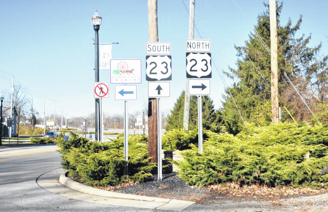
The latest ideas by the Ohio Department of Transportation to improve U.S. Route 23 was unveiled last week in public meetings at the Delaware County Fairgrounds.
Readers will recall the U.S. Route 23 Connect corridor study began in spring 2021 by ODOT. The 23-mile area from Waldo to Worthington has 40 traffic signals and 30% more traffic than it was designed for, causing congestion and crashes. Goods from northwest Ohio and the Great Lakes region flow down to Columbus, making U.S. 23 a major transport route requiring a transformation. ODOT said 15% of the through traffic are trucks.
“Our engineers have been working to improve travel along the U.S. 23 corridor for several years now. While we’ve made improvements, more clearly needs to be done,” ODOT Director Jack Marchbanks said in a September press release. “We can’t do this alone. We’ll be engaging the public in the coming months to ensure that those who live, work, and travel here have a voice in its future.”
“We have several options before us and with the help of the public we hope to refine those options into an action plan that makes the most sense to improve transportation through the corridor,” ODOT District 6 Deputy Director Toni Turowski said in that same release. “We won’t let transportation be a roadblock to economic growth in Ohio.”
Also working on the study with ODOT are the Mid-Ohio Regional Planning Commission and the Toledo Metropolitan Area Council of Governments. Interested parties include the Windsor-Detroit Bridge Authority, which is constructing the Gordie Howe International Bridge from Ontario, Canada, into Michigan.
For this phase of the Route 23 study, ODOT has broken down this corridor into segments and applied four kinds of improvement options to each of them — traditional interchanges, connector road interchanges, restricted crossing U-turns (RCUTs), and overpasses/underpasses.
ODOT has defined each option in terms of how it would relate to the 23 study.
• Traditional freeway interchanges: “replace an intersection with a bridge and ramp connections, eliminating the need for a signal on U.S. 23. Traffic enters and exits U.S. 23 at high speeds. There are many shapes of potential traditional freeway interchanges. These will be designed to allow for a U-turn movement.”
• Connector road interchanges: “replace an intersection with a bridge and two-way connector roads. This eliminates the need for a signal on U.S. 23. However, traffic enters and exits U.S. 23 at low speeds. These are flexible in design to minimize adjacent property impacts. These will provide for a U-turn movement.”
• RCUTs: “restrict side street left turns and through movements but allow these movements via a nearby U-turn. RCUTs can be signalized or unsignalized. RCUTs reduce intersection delays and improve safety, compared with traditional signals.”
• Overpasses and underpasses: “allow traffic on U.S. 23 and side streets to flow without stopping at an intersection. These do not have direct connections between U.S. 23 and the side street. Traffic wishing to make a connection between routes must divert to another location.”
Each corridor segment has four proposed changes, lettered from D to A, with D being most like the existing conditions and A being the most freeway-like. The proposed changes are summarized below from south to north.
• Segment #1S (U.S. Route 23 and Interstate 270 Interchange): Currently with two southbound and two northbound signals, changes could involve extending a local lane from Crosswoods to Worthington Mall, adding to and extending express lanes on either side of 23, and eliminating those signals on 23.
• Segment #1N (Northwoods Boulevard to Olentangy Meadows Drive): There are currently four southbound and four northbound signals. Changes range from adding an additional through lane in each direction, widening to three lanes in each direction throughout, converting existing driveways to only right-in/right-out access, adding connector roads on either side of 23 below Resurrection Cemetery to Northwoods, and removing the signals.
• Segment #2 (Green Meadows Drive to Orange Road): There are currently six southbound and six northbound signals. Changes include widening to three lanes in each direction throughout into Highbanks Metropark and adding up to four overpasses at Green Meadows, State Route 750, Meadow Park Avenue, and Orange Road, eliminating the signals.
• Segment #3 (Orangepoint Drive to Olentangy Crossings): There are currently five southbound and five northbound signals from Olentangy High School/Shale Hollow Park to Nationwide Children’s Hospital/Orange Township Fire Department. The changes include widening to three lanes in each direction throughout, adding overpasses at Halfway Avenue and Home Road, and using either Lewis Center Road or Olentangy Crossings as a connector road, eliminating the signals.
• Segment #4 (Hyatts Road/Shanahan Road to Pollock Road): There are currently five southbound and five northbound signals, with future development assumed across from Greif Parkway. Changes include widening to three lanes in each direction throughout, existing driveways to be converted to only right-in/right-out access, to having no access to U.S. 23 except at interchanges, eliminating the signals and adding overpasses at the realigned Cheshire Road/Camp Lazarus, Glenn Parkway/Winter Road, and Hyatts/Shanahan.
• Segment #5 (State Route 315 to U.S. Route 42): There are eight southbound signals and seven northbound signals currently from Olentangy Avenue to Meeker Way. Widening to three lanes is being considered throughout, or in each direction south of U.S. 42, or in each direction south of Hull Drive. Extending the overpass on 42 from South Sandusky Street to over 23, and adding overpasses at Cottswold Drive (Goodwill Plaza), Delaware Plaza North (Walmart), Hawthorn Boulevard to Coughlin Lane and even 315 are being considered, reducing or eliminating the number of signals.
• Segment #6 (Pennsylvania Avenue to Coover Road): From Buckeye Valley schools to just below the fairgrounds, there are now five southbound and four northbound signals. Changes include new turn lanes at Coover, future connections and overpasses at Hills-Miller Road and Panhandle Road to Merrick Parkway, most driveways to remain and to have right-in/right-out access, no access to U.S. 23 except at interchanges, and eliminating the signals.
• Segment #7 (Main Road to State Route 229): This is where there are existing frontage roads crossing Norton, Radnor and Irwin roads. There are currently two southbound and two northbound signals. Changes include leaving the driveways on frontage roads unchanged, converting driveways south of frontage roads to only right-in/right-out access, keeping the existing driveways but converting them, having full access to driveways on frontage roads, making the frontage roads two-way roads and extending them to Troutman Road and the Delaware State Park, adding an overpass between Irwin and Troutman, and eliminating the signals.
The D to A range of changes is also measured by three factors: travel time reliability and safety benefits, impacts, and access points to U.S. 23, adding the element of pros and cons to each.
“Additional public meetings are planned for early 2024 to help with a feasibility study,” ODOT said. “By the end of next year, ODOT hopes to have a full report on next steps.”
Assistant Editor Gary Budzak covers the eastern half of Delaware County and surrounding areas. He may be reached at [email protected].
